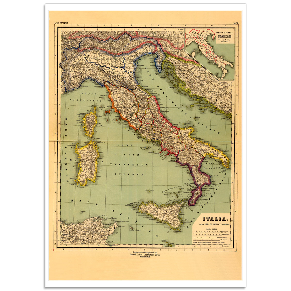
The Eleven Regions of Italy - Vintage Map Poster
A rare map of Italy by Heinrich Kiepert
Heinrich Kiepert was was a distinguished German geographer; he was born in 1818 and died in 1899. Kiepert taught geography at the University of Humboldt-Berlin from 1854 and taught there until his death. He published his first geographical work, “Atlas von Hellas und den hellenischen Kolonien”, in 1840.This map illustrates the the regions after the unification if Italy. Religious conflicts tormented Italy throughout the 17th century and into the 18th along with economic depression, the plague. The idea of nationalism persisted and conflicts outbreaks led by hardened reformers like Giuseppe Mazzini occurred in Italy up to 1848–49. Under the leadership of the (then) Prime Minister of Piedmont, Count Camillo Cavour the majority of Italy became united under the headship of Victor Emmanuel II in 1861. The Kingdom of Italy was proclaimed with Victor Emmanuel II as king and in 1870 Italian troops occupied Rome, in 1871 it became the capital of the kingdom officially.
Details:
- The 'Eleven Regions of Italy' Poster is a reproduction of a Rare Vintage Map.
- This poster is digitally printed on high quality paper with vivid colour and exceptional detail. We recommend Tyvek® for durability and water resistance for maps.
- We use Australia Post and your print will be delivered in a postage tube for extra protection.
- Our online images are electronically watermarked, the actual purchased prints are not.
Dimensions:
- Available print sizes: A2 [420 × 594mm], A1 [594 × 841mm] and A0 [841 × 1189mm]
- Click here to for the Print Size Guide for details.
 |
Vintage Map Poster - The Eleven Regions of Italy
- Product Code: VMP-110_Eleven-Regions-of-Italy
- Availability: In Stock
-
$39.00

